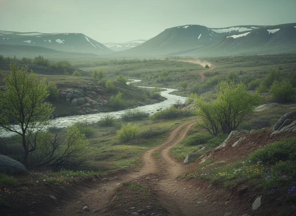
Bald Eagle State Forest encompasses 196,000 acres of the Ridge and Valley physiographic province in Centre, Clinton, Mifflin, and Union counties in central Pennsylvania: the folded ridge and valley terrain that defines the Appalachian mountain character of central PA, with the parallel sandstone and shale ridges of Bald Eagle Mountain, Nittany Mountain, and the Tussey Mountain escarpment defining the forest's boundaries and interior. The state forest ATV trail system threads through the forest's interior on designated corridors, providing public-land ATV riding access to the central PA ridge and valley country that sits between the major I-80 and US-322 corridors and serves the State College, Lock Haven, and Lewistown riding markets. The trail network utilizes forest roads, old logging grades, and purpose-built ATV corridors through the second-growth hardwood forest that covers Bald Eagle: mixed oak-hickory on the ridge tops and south-facing slopes, mixed mesophytic hardwood in the protected hollows, and the hemlock and rhododendron galleries along the stream courses of Spring Creek, Penns Creek, and the First Fork Sinnemahoning that drain the forest interior. Terrain is moderate Appalachian ridge and valley character: sustained ridge climbs, hollow traversals, and the occasional rocky outcrop section on the quartzite ridge exposures that give the ridges their character. ATVs and off-highway motorcycles are permitted on designated routes; Pennsylvania ATV registration required. The state forest closes ATV trails during the November deer firearms season, a hard closure that coincides with hunting season overlap and must be planned around. Pennsylvania Bureau of Forestry Bald Eagle District Office at Millheim (570-922-3344) manages current trail status and seasonal closures.
Hours
Open April 1 through October 31 on designated ATV trails; closed November through March and during deer firearms season. Pennsylvania ATV registration required.
Phone
570-922-3344Trip openings, seasonal updates, and the occasional deal, straight to your inbox.
FAQ
Everything you need to know before you get started.
Have a question, or ready to book? Reach out and we’ll get right back to you.